
SERVICES
What we offer
Our drone services are designed to make your projects safer, faster, and more efficient. Whether it’s construction progress reporting, public works inspections, or quarry mapping, Aerial Ops has you covered.

Progress Reporting
Deliver detailed aerial updates to track progress, identify challenges, and maintain schedules.
Benefits:
-
Improved oversight,
-
Reduced delays,
-
Stakeholder alignment.
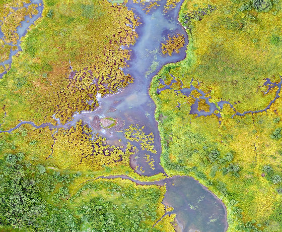
Precision Mapping
Produce high-resolution 3D maps and 2D Orthomosaics for construction planning and volumetric analysis.
Benefits:
-
Increased accuracy
-
Resource optimization
-
Cost savings

Infrastructure Inspections
Perform drone-based inspections of bridges, roads, and public facilities to enhance safety and ensure compliance.
Benefits:
-
Risk reduction
-
Thorough evaluations
-
Compliance assurance
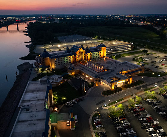
Aerial Photography & Video
Capture high-quality aerial imagery and videos to support marketing, equipment tracking, and off-site project management.
Benefits:
-
Showcase projects with stunning visuals
-
Monitor equipment efficiently,
-
Create impactful marketing content.
Our Mission
Aerial photography is not just a job to us, it’s our passion. Aerial Ops Drone Services was founded to fulfill the needs of clients seeking the highest quality images and products to promote their vision. Our team has been in professional video production and photography for over 25 years, and we have been partnering with designers and builders in the construction industry for over 20 years. We use cutting-edge technology to deliver high-quality images, videos and other product deliverables that are both stunning and functional. Contact us today to learn more about how we can help you bring your project to life.
